

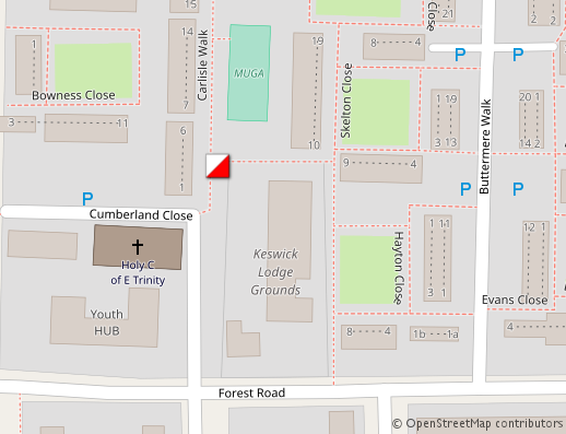
- 1-6 Carlisle Walk
-
51.544647, -0.072482 (OpenStreetMap, Google Maps, Yandex Maps)
- Find a fence east of the house (see the map). Sign under the “Do not climb” sign
- Word in green
-
Passionfruit
Legend photo
-
Historical background
London Addresses and Postcodes
London addresses are a code of their own. A street sign will bear the name of the street, square or lane; then the official name of the area or district underneath it (for example, Royal Borough of Kensington and Chelsea). In the left bottom corner there will be the first part of the post code. In Victorian times London was divided into East Centre (EC), West Centre (WC), East (E), West (W), South-West (SW), South-East (SE), North (N) and North-West (NW). In each sector number “1” marked the area nearest to the centre (after numbers they go by letters) so SE2 will be miles away from SE1. The second part of the postcode includes a number and two letters to describe the precise location of an addressee.
There is another distinctive feature — many houses in London have their own names instead of numbers so the traditional number and name can mean a house number, name of the street, flat number, or the name of a block of flats. Numeration is not always continuous, house number 337 may be followed by house number 468. You can also find old street names on the fronts of old houses, so look out for them. Enjoy your city orienteering event!
// by Leonard Bentley (Postcard) [PD-Old-100], [CC BY-SA 2.0 (https://creativecommons.org/licenses/by-sa/2.0/)], via Flickr

Present in routes of categories Lion-Light, Horseman
Passed by: 25/26 (96%).
By categories:
- Horseman: 1/1 (100%)
- Lion-Light: 24/25 (96%)